Start
Palenica Białczańska
End
Palenica Białczańska
Difficulty: Very hard
Trail description
Najwyższy szczyt Polski - w jeden dzień
Rysy (2499 m n.p.m.). Wierzchołek, który zna każdy Polak - nawet ktoś, kto nigdy nie był w Tatrach. Dach Polski. Najwyższy szczyt kraju. Ten, na który wskazuje się palcem znad Morskiego Oka i z brzegu Czarnego Stawu pod Rysami. I - inaczej niż większość szczytów tej klasy - na Rysy da się wejść szlakiem znakowanym. Wystarczy dobra kondycja, pogoda, jeden bardzo długi dzień i przewodnik, który zaprowadzi Cię bezpiecznie na sam szczyt. Każdy sprawny turysta może spojrzeć na Polskę z jej najwyższego punktu - wchodząc na niego na własnych nogach.
To jedna z najdłuższych jednodniowych wycieczek, jakie da się w Tatrach zrealizować. 26 kilometrów, 1850 metrów przewyższenia, 12-14 godzin marszu. Wypełnia cały dzień - wychodzimy zanim wstanie słońce, wracamy gdy już zachodzi. Trasa podobnej klasy trudności co Orla Perć - z tą różnicą, że tutaj nagrodą jest sam wierzchołek najwyższego szczytu Polski.
Trasa - krok po kroku
- Palenica Białczańska (start) - spotykamy się na parkingu. Robimy briefing, sprawdzamy wyposażenie.
- Wodogrzmoty Mickiewicza - mijamy po drodze wodospady na potoku Roztoka. Dalej długie podejście Doliną Rybiego Potoku, około 2 godzin do schroniska.
- Schronisko nad Morskim Okiem (1395 m n.p.m.) - krótka przerwa, uzupełniamy wodę. To miejsce z bogatą historią - po drodze opowiadamy o słynnym sporze granicznym z 1902 roku, kiedy o przynależność Morskiego Oka do Polski rozstrzygał międzynarodowy sąd w Grazu. Niewiele brakowało, a tej doliny by tu dziś nie było po naszej stronie.
- Morskie Oko - obchodzimy największy staw Tatr brzegiem, podejście zaczyna się dopiero po jego drugiej stronie.
- Czarny Staw pod Rysami (1583 m n.p.m.) - drugi staw, kilkadziesiąt metrów wyżej, u stóp Rysów i Czarnego Mięguszowieckiego Szczytu.
- Strome podejście kamienistym szlakiem - obchodzimy Czarny Staw i podchodzimy ostro pod górę w kierunku Buli.
- Bula pod Rysami (ok. 2050 m n.p.m.) - tu się zatrzymujemy. Zakładasz kask, uprząż i lonżę, robimy briefing techniczny - jak się poruszać w skalistym terenie, jak korzystać z łańcuchów, jak dbać o własne bezpieczeństwo.
- Powyżej Buli - najtrudniejsze fragmenty trasy. Podchodzimy bardzo stromym skalnym stokiem, w kluczowych miejscach asekurujemy się przy pomocny sztucznych ułatwień (łańcuchów). Stąd już blisko do wierzchołka.
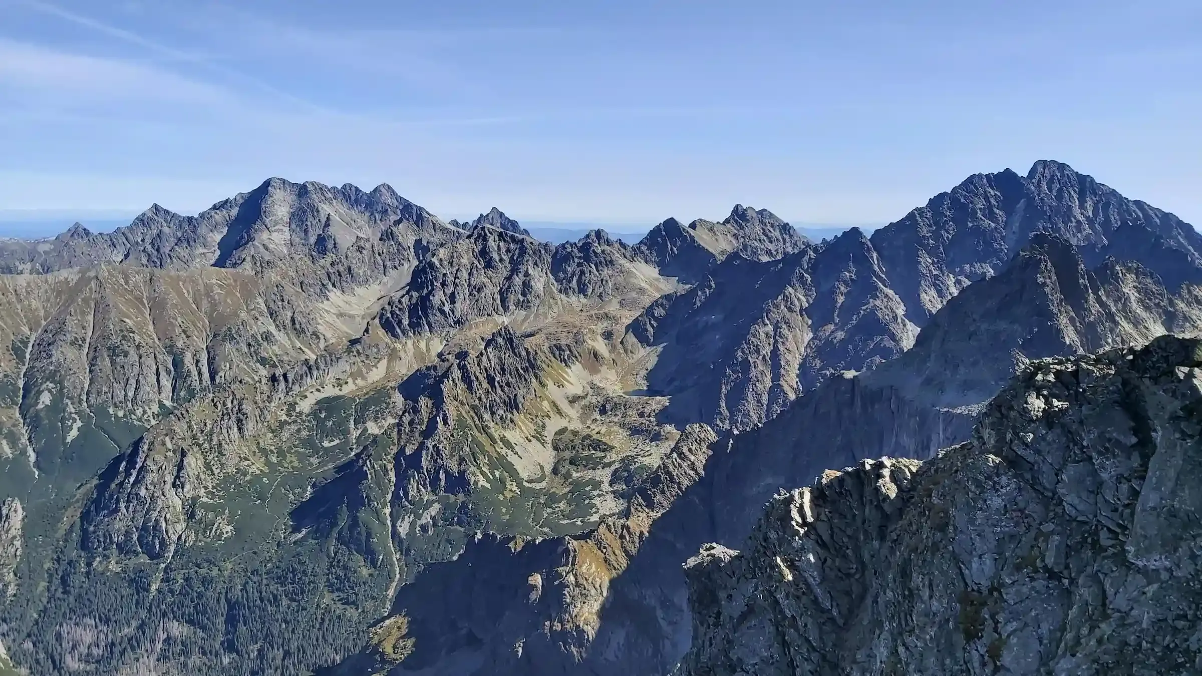
- Rysy (2499 m n.p.m.) - panorama na Tatry Słowackie, Krywań i Gerlach po stronie słowackiej. W dół - Morskie Oko widziane z lotu ptaka.
- Zejście tą samą trasą - schodzimy dokładnie tą samą drogą, ściągamy sprzęt na Buli i wracamy przez Czarny Staw, Morskie Oko i drogę do Palenicy.
Powyżej Buli - tu zaczynają się najtrudniejsze fragmenty
Wyjście powyżej Buli pod Rysami to moment, w którym wycieczka zmienia charakter. Do Buli prowadzi typowy górski szlak - długi, męczący, ale technicznie prosty. Powyżej, na wysokości około 2050 metrów, ten sam szlak zmienia charakter: zaczyna się strome skalne podejście z łańcuchami i klamrami w kluczowych miejscach.
To miejsce, w którym ludzie się zatrzymują. Pierwszy raz w takim terenie to nie tylko kwestia siły fizycznej - to kwestia tego, czy umysł da radę przetworzyć to, co widzą oczy. Dlatego zakładamy sprzęt asekuracyjny: kask, uprząż i lonżę. Idziemy obok krok po kroku, pokazujemy gdzie chwytać łańcuch i gdzie postawić stopę. Strach nie znika - ale rozkładamy go na czynniki techniczne, którymi da się zarządzać.
Dla kogo ta wycieczka
Idealna dla Ciebie, jeśli chodzisz w góry regularnie ostatnie 2-3 lata, wytrzymujesz 12-14 godzin marszu z plecakiem, masz na koncie Giewont, Kasprowy Wierch albo Czerwone Wierchy i żaden z tych szczytów nie był dla Ciebie problemem. Łańcuchy w skale i ekspozycja nie blokują Cię - chcesz się sprawdzić, ale na bezpiecznych warunkach, z profesjonalną asystą na trudnym skalnym odcinku.
Lepiej wybierz inną trasę, jeśli masz silny lęk wysokości, Twoja kondycja nie pozwala na 12 godzin marszu, albo zaczynasz dopiero przygodę z Tatrami. Rysy to najwyższa półka jednodniowych wycieczek w polskich Tatrach - na ten poziom dochodzi się stopniowo. Zacznij od naszych wycieczek z łatwiejszych kategorii.
Dlaczego warto iść z przewodnikiem
- Kask, uprząż i lonża - i ktoś, kto pokaże jak ich używać. Sprzęt asekuracyjny dostajesz od nas. Zakładamy go na Buli pod Rysami, tuż przed skalnym odcinkiem. Pokazujemy jak korzystać z łańcuchów, gdzie chwytać, gdzie postawić stopę. Pierwszy raz w takim terenie to nie tylko technika, ale i emocje - obecność doświadczonego przewodnika obok robi różnicę. Po zejściu ze skalnego odcinka zdejmujemy sprzęt i wracasz odciążony.
- 26 km, 1850 m, 14 godzin - dojdziesz w jednym kawałku. Bez przewodnika większość ludzi zajeżdża się na podejściu - albo nie dochodzi na szczyt, albo dochodzi tak zmęczonych, że zejście staje się niebezpieczne. My pilnujemy tempa od pierwszego do ostatniego kilometra - wiemy kiedy zwolnić, kiedy zrobić dłuższą przerwę, kiedy zjeść, kiedy uzupełnić wodę. Idziemy z Tobą całe 14 godzin - od parkingu na Palenicy aż z powrotem do auta.
- Po drodze opowiadamy - o topografii, lodowcach, o szczytach na horyzoncie. Mijamy Wodogrzmoty Mickiewicza, podchodzimy nad Morskie Oko - opowiadamy o słynnym sporze granicznym z 1902 roku, kiedy o przynależność doliny do Polski rozstrzygał międzynarodowy sąd w Grazu. Niewiele brakowało, a Morskie Oko nie należałoby dziś do Polski. Ze szczytu Rysów opisujemy bogatą panoramę 360 stopni - widać z niej zarówno Tatry Zachodnie, jak i najwyższe szczyty Tatr Wysokich: Gerlach (2655 m, najwyższy szczyt Tatr), Łomnicę, Lodowy Szczyt i Wysoką. Konkretny szczyt, konkretna historia, konkretny punkt na horyzoncie.
Trail equipment
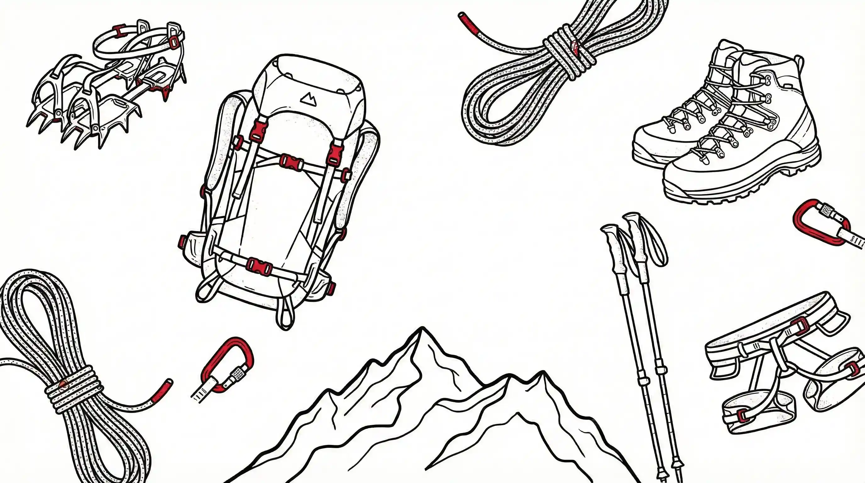
We provide
 Kask
Kask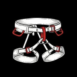 Uprząż wspinaczkowa
 Lonża via ferrata
 Bilety TPN
You need
 Buty trekkingowe
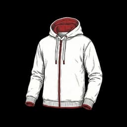 Bluza polarowa
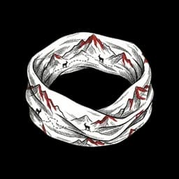 Komin
Komin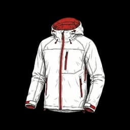 Kurtka przeciwdeszczowa
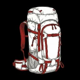 Plecak min. 30l
 Prowiant
 Woda min. 4l
 Czołówka
 Krem z filtrem UV
Good to have
 Bielizna termoaktywna
 Rękawiczki via ferrata
 Termos z ciepłym napojem
 Kijki trekkingowe
 Apteczka
 Okulary przeciwsłoneczne
Frequently asked questions
I have no experience with chains and exposed terrain - is this tour right for me?
The requirements listed for each tour are a guideline, not a rigid barrier. What matters is good fitness for a hike of several hours and no strong fear of heights - we teach chain-handling techniques on the trail, step by step. If you're not sure whether a given tour's level suits you, get in touch before booking - a phone call is the quickest way. We'll advise you honestly and, if needed, point you to an easier route to start with. Contact: Łukasz +48 508 710 246, Karolina +48 508 710 321, kontakt@tatractive.pl.
What if I freeze with fear on the trail or can't go on?
That's normal and there's nothing to be ashamed of - it often happens on a first encounter with difficult terrain. The guide is there to get you through such moments: we slow down, we explain, we give you a moment to catch your breath. If you still feel you don't want to continue, a safe turnaround is always possible and the guide will lead you through it. You're never left alone on the trail, and we adjust the pace to the slowest person in the group.
One person in the group is less fit and slows everyone down - what then?
The fitness requirements for each tour are real - assess them honestly, and if in doubt get in touch before booking (a phone call is the quickest way). The guide is responsible for the whole group getting up and down safely, including before dark. If it turns out on the trail that one person can't keep a safe pace and this endangers the rest of the group, the guide makes a decision - always in a safe place, never in chained terrain: changing the destination, shortening the route, or directing that person to a safe spot to rest or to descend on their own via an easy, marked trail. That person then receives clear instructions - which way to go, which trail colour to follow and where to wait (for example, by a mountain hut). This way one person doesn't ruin the tour for the whole group.
How do I cancel a tour, and will I get a refund?
Cancellation - the refund amount depends on how many days before the date you cancel: - 30 or more days before the date - 100% refund - 14-29 days before the date - 50% refund - fewer than 14 days, or a no-show - no refund Documented illness or an accident - we'll move you to another date (valid for 12 months) or refund the full amount. You can also pass your spot to another person - just let us know in advance so we know who will turn up at the meeting point.
What if the weather is bad?
We assume the tour always takes place. If conditions force a cancellation, we make that decision no later than the day before the date. Unfavourable but safe conditions - clouds, no visibility, fog, moderate wind, low temperature - are not grounds for cancellation or a refund; if conditions allow a safe ascent, we go. We cancel a tour only in genuinely dangerous conditions (storm, strong wind, black ice, heavy precipitation) or for safety reasons - then we offer a new date or refund 100% of your payment within 14 days. If the weather breaks down during the tour, the guide may change the destination, shorten or end the route - in that case, since the guiding service has been performed, no refund applies.
We're going as a couple or a group of friends - how do we book several spots, and will we go just with our own group?
When booking, you enter the number of people - you buy spots for your whole group in a single booking (for example, for four people you book four spots). By default a date is open and other people may also join it. But if your group books every spot on a date, it is full - no one outside the group can join, and you set out on your own. Want a guaranteed private tour regardless of group size? Get in touch (a phone call is the quickest way) - we'll arrange an individual date just for you.
Can a child or teenager take part in a tour?
Yes. A booking for a minor is always made by a parent or legal guardian. The rules depend on age: - under 7 - selected easy tours only, under the care of a parent/guardian, after prior arrangement with the guide; - 7-13 - under the care of a parent, legal guardian or an authorised adult; - 14-17 - independent participation is possible after providing written parental/guardian consent no later than 24 h before the tour (scan to kontakt@tatractive.pl). You'll find the consent template here. Participation on more difficult routes also depends on the young person's real fitness and experience - if in doubt, get in touch before booking (a phone call is the quickest way).
Do I need mountain insurance? What about rescue costs?
Mountain rescue in the Polish Tatras is carried out by TOPR and funded by the Polish state. Medical treatment after a rescue is a separate matter - in Poland it is covered by the public health service (NFZ) only for people insured in Poland. If you are visiting from abroad you are usually not covered, so we strongly recommend taking out your own travel or mountain insurance covering medical treatment, hospital costs and private transport. Note also that on the Slovak side the rescue service itself is paid. You'll find what's covered by the tour price in the „We provide” section of each route.
When and how do I pay? Is the payment secure?
You confirm your booking by paying the full price (100%) right away at sign-up - no later top-ups. Payment is handled by Stripe (BLIK, card, Przelewy24) - with the highest standard of transaction security (PCI DSS). We do not store your card details. After payment you receive a confirmation email. We issue an invoice on request - write to kontakt@tatractive.pl.
Dates
Saturday, June 20, 2026
Start: 05:00 · Guide: Łukasz
Friday, June 26, 2026
Start: 05:00 · Guide: Łukasz
Sunday, June 28, 2026
Start: 05:00 · Guide: Łukasz
Friday, July 3, 2026
Start: 05:00 · Guide: Łukasz
Tuesday, July 7, 2026
Start: 05:00 · Guide: Karolina
Saturday, July 11, 2026
Start: 05:00 · Guide: Karolina
Sunday, July 12, 2026
Start: 05:00 · Guide: Łukasz
Monday, July 13, 2026
Start: 05:00 · Guide: Karolina
Saturday, July 18, 2026
Start: 05:00 · Guide: Łukasz
Sunday, July 19, 2026
Start: 05:00 · Guide: Karolina
Thursday, July 23, 2026
Start: 05:00 · Guide: Karolina
Tuesday, July 28, 2026
Start: 05:00 · Guide: Łukasz
Saturday, August 1, 2026
Start: 05:00 · Guide: Łukasz
Thursday, August 6, 2026
Start: 05:00 · Guide: Karolina
Saturday, August 8, 2026
Start: 05:00 · Guide: Łukasz
Sunday, August 9, 2026
Start: 05:00 · Guide: Karolina
Tuesday, August 11, 2026
Start: 05:00 · Guide: Łukasz
Thursday, August 13, 2026
Start: 05:00 · Guide: Karolina
Saturday, August 15, 2026
Start: 05:00 · Guide: Karolina
Sunday, August 16, 2026
Start: 05:00 · Guide: Łukasz
Tuesday, August 18, 2026
Start: 05:00 · Guide: Karolina
Thursday, August 20, 2026
Start: 05:00 · Guide: Łukasz
Saturday, August 22, 2026
Start: 05:00 · Guide: Łukasz
Sunday, August 23, 2026
Start: 05:00 · Guide: Karolina
Tuesday, August 25, 2026
Start: 05:00 · Guide: Karolina
Thursday, August 27, 2026
Start: 05:00 · Guide: Łukasz